


팝업레이어 알림

팝업레이어 알림이 없습니다.
자동차사진

Web services used by government departments, local governments and disaster officers of facilities for 'control' by type of disaster

3D GIS Disaster Visualization System

In connection with the 'control' service, 'predictable' by type of disaster such as flooding, earthquakes, etc.

Disaster Simulation SW

A 'prediction' solution that enables location-based communication with internal and external personnel in connection with the 'control' service

Situation Reporting App

For the safety of citizens, a responsive web app (PWA) with SOC information related to "evacuation routes" and evacuation is provided.

Safe Evacuation App

아래 화살표

About D-MAP혁신제품 지정

D-MAP is the product name of 3D GIS-based disaster decision support solutions, as well as the product and brand of Lamilab inc.

Web services used by government departments, basic local governments and facility disaster officers for 'control' by type of disaster, '3D GIS Disaster Visualization System'
A 'Disaster Simulation SW' that can be 'predicted' for each type of disaster such as earthquake, flooding, etc. in connection with the 'control' service.
"Response" solution that allows location-based communication with internal and external personnel in connection with "control" service "Situation Reporting App"
Finally, for the safety of citizens, "Safety Evacuation Path Solution" provides a reactive web app (PWA) with "Evacuation Path" and SOC information related to evacuation.

D-MAP is a solution beyond disaster control.
It is a brand for safety in Korea and around the world.

구름사진
Solve urban problems with knowledge of space.

Digital Twin Disaster Decision Support Solution

dmap로고

Our Solution

33D GIS Disaster Visualization System Inundation Solution

Using weather forecasts, it is possible to predict areas at risk of flooding and prepare for situations by linking areas expected to flooding according to various scenarios.

3D GIS Disaster Visualization System Earthquake Solution

It can monitor real-time earthquake conditions and use supercomputers to respond to ground movements and building damage according to simulated earthquake scenarios.

Disaster Simulation SW

The solution based on an accurate flood prediction system applying a distributed rainfall-outflow model can predict the extent of damage with only real-time rainfall input.

Situation Reporting App

As a response solution beyond control, real-time communication between disaster sites and situation rooms can be performed based on chat. It can also be used in the field of urban planning.

Safe Evacuation App

Based on earthquake and flooding simulations, you can evacuate by bypassing dangerous areas. We can also share real-time risks. You can also add various SOC facilities.

GIS Data Management

You can enter and upload various types of spatial information on the 3D map. Even those who are not familiar with API can easily link real-time data.
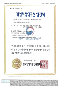
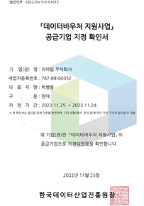
Certification Status

  • 기업부설연구소 인정서
  • 데이터바우처 지원사업
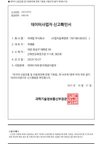
  • 데이터사업자 신고확인서
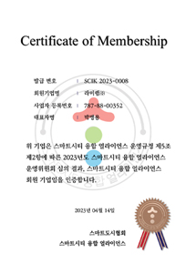
  • 스마트도시협회 멤버
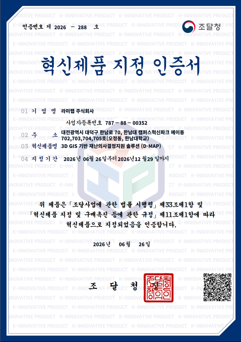
  • 혁신제품 지정 인증서

Do you need any assistance?
If you leave an inquiry, the person in charge will check it quickly and answer it.

Partners

고객사
고객사
고객사
고객사
고객사
고객사
고객사
고객사
고객사
고객사
고객사
고객사
고객사
고객사
고객사
고객사